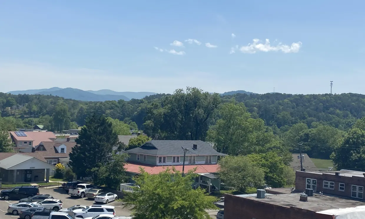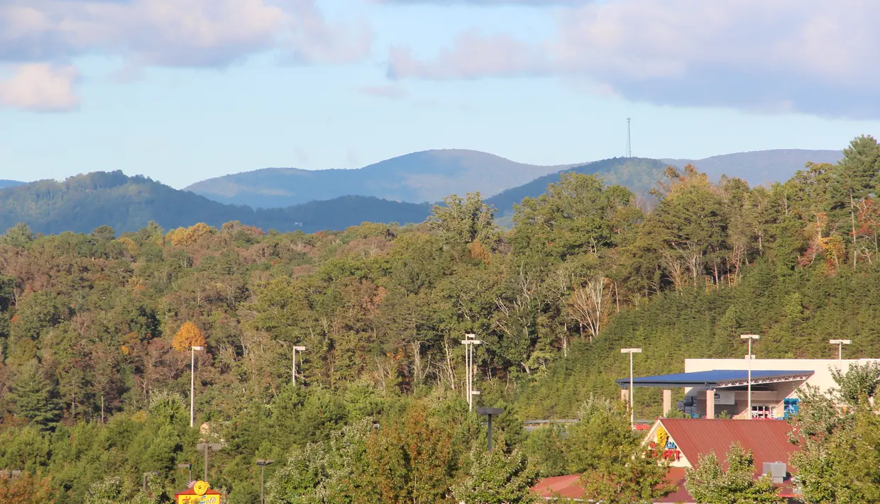
The high ground
The USGS elevation service returns about 1,283 feet above sea level at the USGS reference point for Ellijay. Elevations differ across the city. (USGS elevation service, checked 2026-10-16)
The USDA Forest Service lists Cohutta Wilderness trailheads in Fannin, Gilmer and Murray counties. It describes the wilderness as 37,000 acres with 90 miles of hiking and backpacking trails, managed through the Conasauga Ranger District (3941 Highway 76, Chatsworth). (USDA Forest Service, checked 2026-10-16)
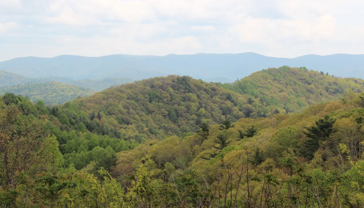
What a view costs you
Not money we can quote, but trade-offs. View lots tend to sit at the top of steep drives, often gravel, often private. Ask:
- Who maintains the road, and is there a written agreement?
- How does the drive handle ice? Visit after a hard rain if you can.
- Can a delivery truck, a septic pump truck and an ambulance get up it?
- What internet service reports at this exact address?
On the FCC National Broadband Map, a user can enter a street address to see the internet providers that report service at that location, with their technologies and speeds, and can challenge information they believe is wrong. (FCC Broadband Data Collection, checked 2026-10-16)
Rules that apply
Most view lots are in unincorporated Gilmer County, so the county’s rental chapter applies, including its requirement for a road maintenance agreement when a rental is reached by a private road the county does not maintain.
If a short-term rental is reached only by a road that crosses private property and is not maintained by the county, Chapter 45 requires the owner to attest to having a maintenance agreement with the road's owner or owners. (Gilmer County Code, Chapter 45, checked 2026-10-16)
Questions buyers ask
How do I check internet at a cabin address?
Enter the street address on the FCC National Broadband Map to see which providers report service there, with technologies and speeds, and challenge anything that looks wrong.
Source: FCC Broadband Data Collection
Is the Cohutta Wilderness in Gilmer County?
Partly. The Forest Service lists Cohutta Wilderness trailheads in Fannin, Gilmer and Murray counties, and describes the wilderness as 37,000 acres with 90 miles of trails.
Source: USDA Forest Service
Rules and fees change. Every rule on this page links to the office that sets it; confirm with that office before you rely on it.