Skip to content

Area guide

Cabins Near Carters Lake

The short answer

Carters Lake is a U.S. Army Corps of Engineers lake on the Coosawattee River at the west end of the county, with 62.7 miles of shoreline at full power pool. The shoreline is Corps land, and the Corps’ own site said in 2009 there are no private docks or development along it. Buy near Carters Lake for public lake access and views, not for a private dock.

Last checked October 16, 2026

Deep-blue lake water spreading between forested peninsulas toward distant blue mountains, seen from a high overlook through bare branches.
Carters Lake from an overlook Photo: Tamparitus, CC BY-SA 4.0

A Corps of Engineers lake

Carters Lake is a U.S. Army Corps of Engineers, Mobile District project on the Coosawattee River. The Corps' pertinent-data sheet lists 3,275 acres at maximum power pool (elevation 1,074 ft) and 62.7 shoreline miles at that elevation. (U.S. Army Corps of Engineers, checked 2026-10-16)
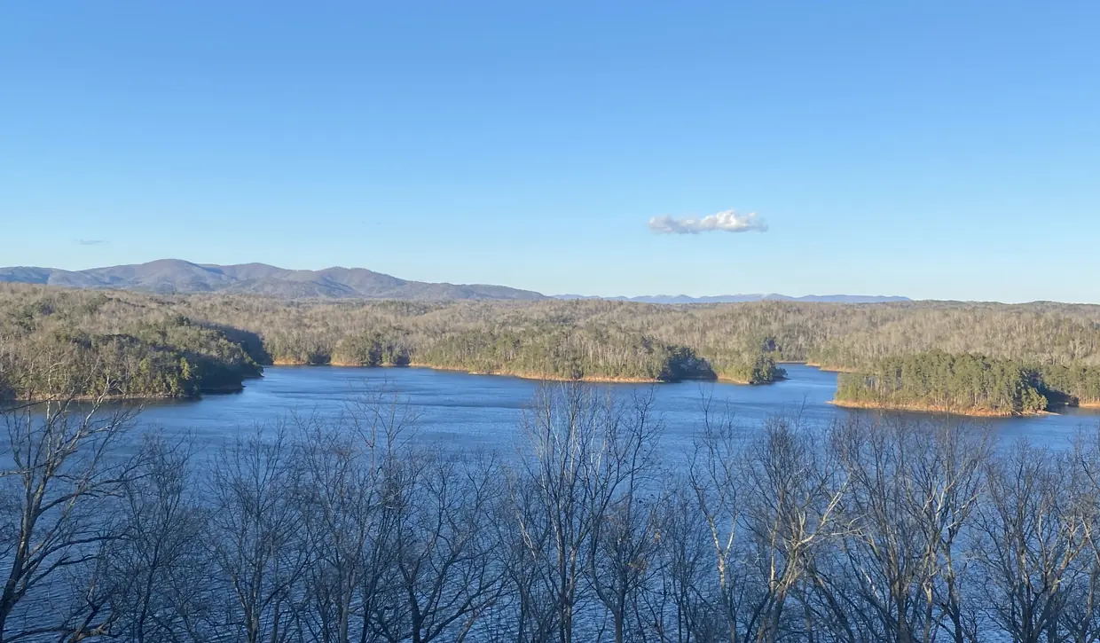
Deep-blue lake water spreading between forested peninsulas toward distant blue mountains, seen from a high overlook through bare branches.
Carters Lake from an overlook Photo: Tamparitus, CC BY-SA 4.0

No private docks

The Corps' Carters Lake website, as archived in January 2009, said the shoreline had no private docks or development along 62 miles of natural shoreline. (U.S. Army Corps of Engineers (2009 archive), checked 2026-10-16)

That is the single biggest difference from lakes like Lake Lanier or Lake Blue Ridge. A “lake view” or “lake access” listing near Carters means the view or a public access point, not water frontage you control. If a listing suggests otherwise, ask the Corps and the listing agent for specifics in writing.
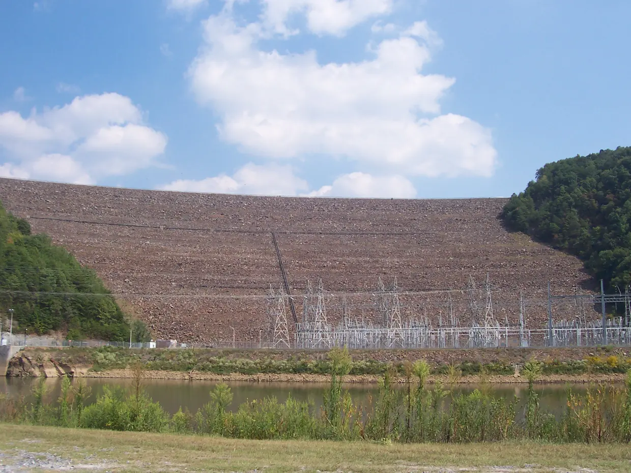
The broad rock-fill face of a large dam between two forested hillsides, with an electrical switchyard and a pool of water at its base.
Carters Dam, just west of Gilmer County in Murray County Photo: HowardSF, Public domain

Before you buy near the lake

  • Check the parcel record for the exact boundary and whether the lot touches Corps land.
  • Ask how the road is maintained; lake-side ridges can be steep. See roads and winter access.
  • Confirm internet at the exact address; coverage changes road by road.
  • Septic and well checks apply here as anywhere outside the cities.

Questions buyers ask

Can I have a private dock on Carters Lake?

The Corps of Engineers’ Carters Lake site said in 2009 that the shoreline has no private docks or development along its natural shoreline. Treat lake access as public access, and ask the Corps about anything specific.

Source: U.S. Army Corps of Engineers (2009 archive)

Rules and fees change. Every rule on this page links to the office that sets it; confirm with that office before you rely on it.
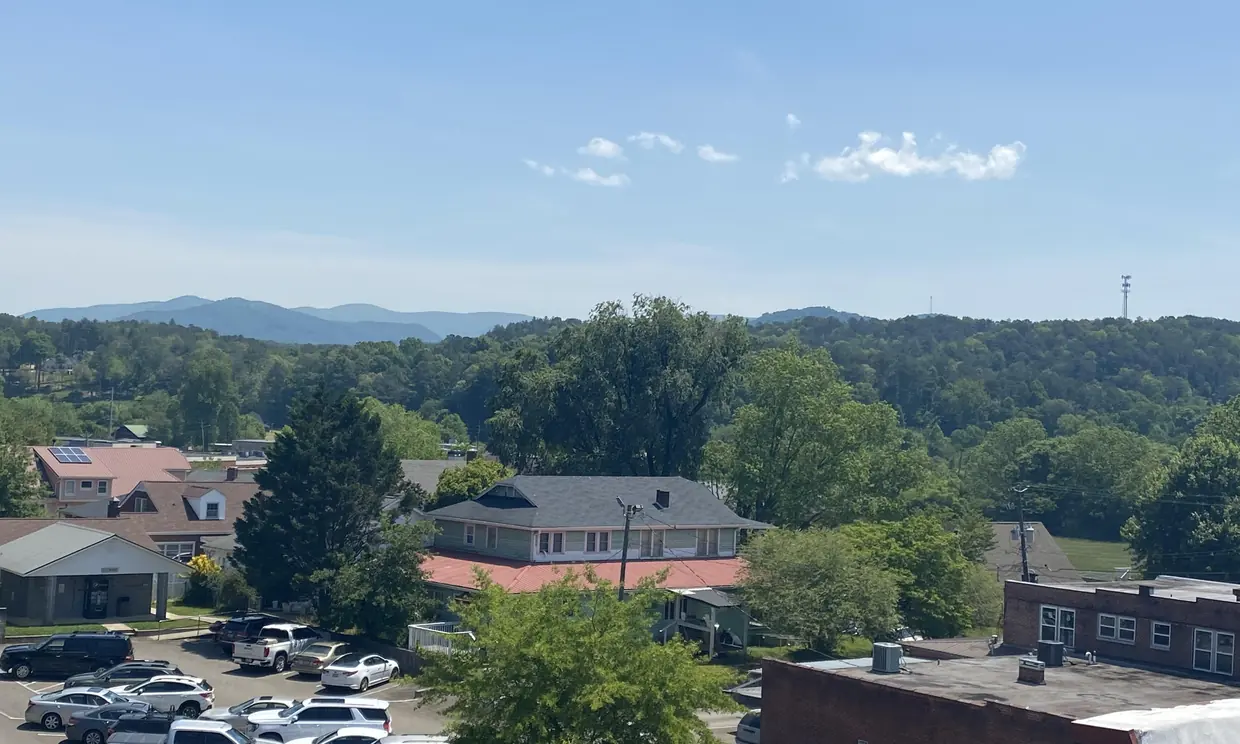
An elevated view over downtown rooftops and a full parking lot, with green wooded hills and a blue mountain ridge on the horizon.
Downtown Ellijay rooftops and the ridges beyond · Photo: Tamparitus, CC BY-SA 4.0

Ready to walk a cabin?

Talk to a North Georgia agent before you write the offer.

Gold Peach Realty is the brokerage behind this guide. An agent can pull the septic records, read the association rules and drive the road with you before your due-diligence clock runs out, and show you what is actually for sale in Ellijay and the rest of Gilmer County.

Visit Gold Peach Realty Call (770) 283-1223

Send a question about a specific cabin