Why it matters here
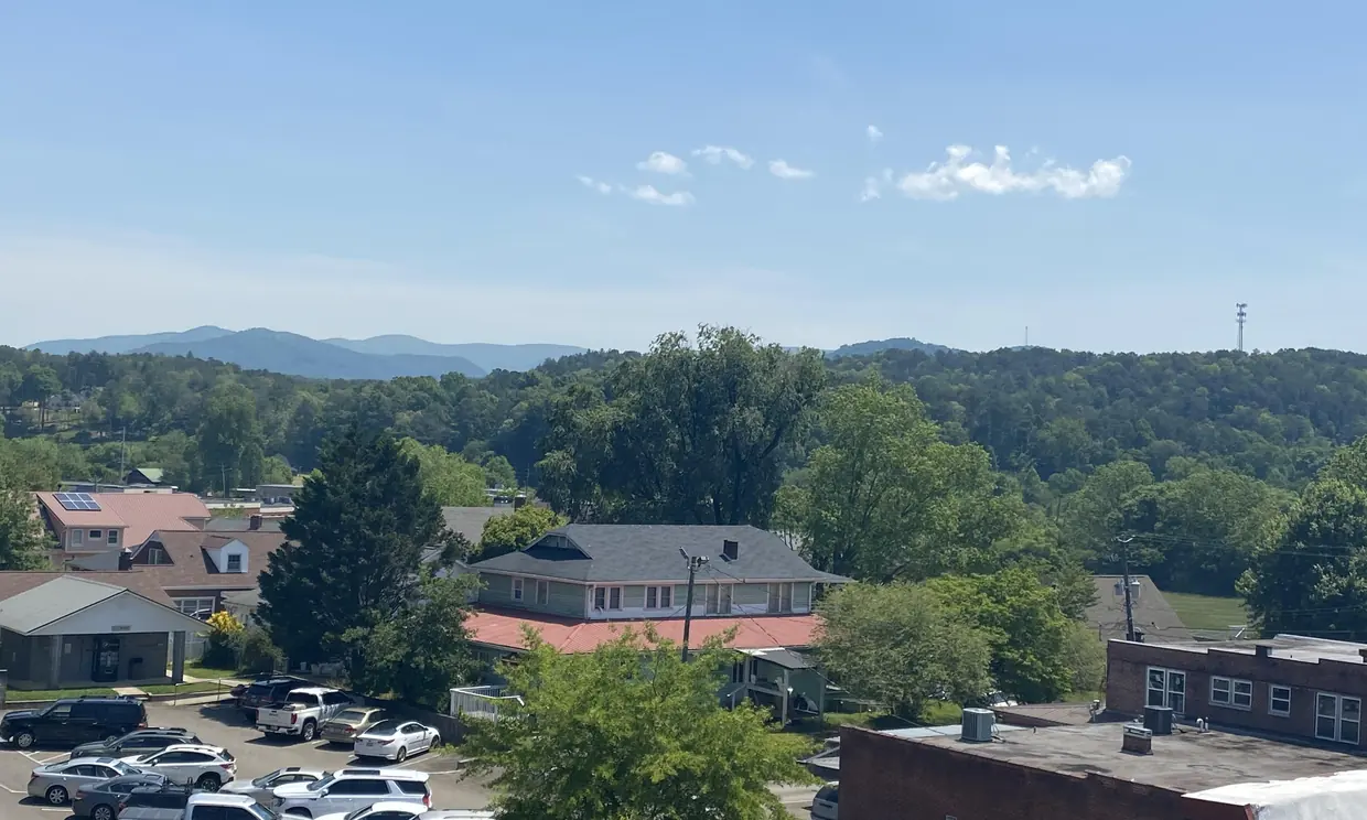
USGS records place the mouths of the Ellijay River and the Cartecay River, and the source of the Coosawattee River, at the same point in the City of Ellijay. That is where the two rivers join to form the Coosawattee. Downstream, the Coosawattee is impounded by Carters Dam, which forms Carters Lake. (USGS place names (GNIS), checked 2026-10-16)
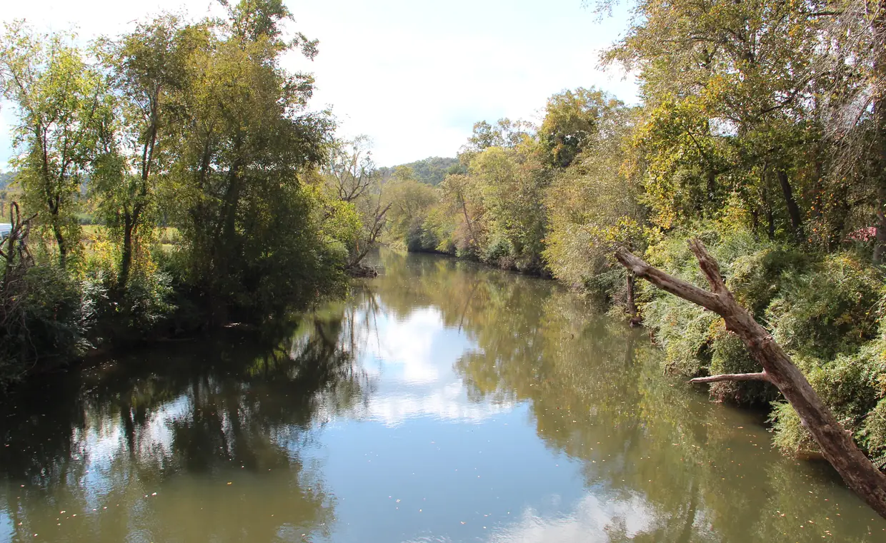
River frontage is the reason many people buy in Gilmer County. It is also the reason to look at the flood map before you fall for the porch.
How to check, step by step
- Open FEMA’s Flood Map Service Center and search the cabin’s street address.
- Find the cabin on the map and note the zone shown for that spot, not just the parcel’s corner.
- Pull the parcel record on the county’s qPublic site to compare lot lines with the mapped area.
- Ask an insurance agent for a flood quote during your due-diligence period, and ask your lender whether flood insurance will be required.
Where to look
- FEMA's Flood Map Service Center is the official public source for flood hazard information under the National Flood Insurance Program and can be searched by address. FEMA Flood Map Service Center, checked 2026-10-16
- For parcel maps and records, Gilmer County links to its Board of Assessors' qPublic site. Gilmer County Board of Assessors (qPublic), checked 2026-10-16
Questions for the seller
- Has water ever reached the cabin, the drive or the septic field?
- Is there an elevation certificate?
- Is there a current flood insurance policy, and what does it cost?
Questions buyers ask
How do I check if a river cabin is in a flood zone?
Search the address on FEMA’s Flood Map Service Center, the official public source for flood hazard information under the National Flood Insurance Program.
Source: FEMA Flood Map Service Center
Rules and fees change. Every rule on this page links to the office that sets it; confirm with that office before you rely on it.